Digital 3D Building blocks
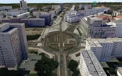
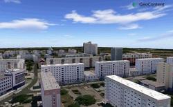
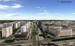
On the basis of the digital aerial image map DLK®, 3D models of the buildings can be produced. Important parameters such as building height, base and exposition can be gained from it.nbsp;
The combination of DLK®, elevation models and buildings allow a fairly realistic representation in the framework of 3D, city, and landscape models as well as the evaluation of the data, for example for the planning of a radio network. With Premium-Service, the data is also licensable for web applications.
| AGB | Lizenzen | Impressum | Haftungsausschluss | Sitemap | Datenschutz |


