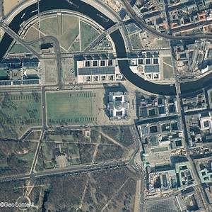
Digital Aerial Photos - DLK®: a unique full coverage aerial photography map of Germany
The digital aerial image map DLK® represents the main product of GeoContent. The continuously updated aerial image mosaic portrays Germany in the highest quality and homogeneity with colour orthophotos.
The aerial images are available with a ground resolution of at least 50 cm/Pixel, and updates are produced with resolutions between 25 and 5 cm. Besides the colour picture (RGB) an additional infra-red channel is also recorded, so that from the four recorded spectral channels, a pseudo colour image (CIR) can be produced, which is particularly important in the use of environmental evaluations.
Further information can be found in our Product Information.

