Supply and waste management

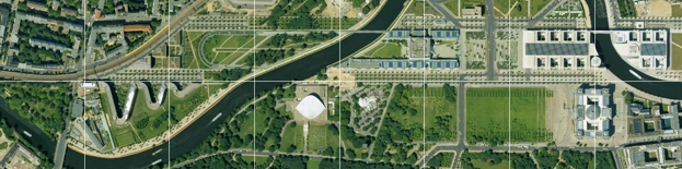
GeoContents aerial image maps offer a valuable basis in many areas of up-to-date technical planning and documentation tasks.
This applies to suppliers, who want to maintain their power grids and high voltage towers, as well as for radio network planning and other engineering services.
Further information about building data help with calculations of noise pollution and are used in the visualisations of projects.
Further applications of the DLK are:
- Route mapping for road and railway construction
- Pipeline construction
- Network documentation
- Noise pollution calculation
- Wind farms
- Variant planning
| AGB | Lizenzen | Impressum | Haftungsausschluss | Sitemap | Datenschutz |