GeoContent: A new view of Germany!
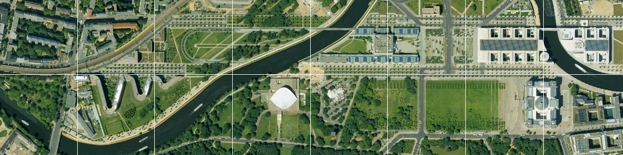
Cartographers benefit from the extensive features of aerial image data. Thanks to georeferencing, map data can be instantly checked, updated and amended. Aerial and satellite information are vital supplementary material for new forms of map products in print, on DVD or online. Go with the times and get the full picture!
Cartography applications
- Map updating
- DVD projects
- Rambler maps, Travel guides
- Travel portals
For traditional GIS users the embedding and integration of various geospatial information is an important topic. You can cost-effectively license aerial image data and integrate it into your system, either from a hard drive or via a fast WMS connection to the entire database. Smaller areas can be selected from our webshop in a matter of minutes and obtained via FTP.
GIS applications
- Task planning
- Infrastructure projects
- Surveying
- Environmental analysis
| AGB | Lizenzen | Impressum | Haftungsausschluss | Sitemap | Datenschutz |