Digital 3D-Terrain models
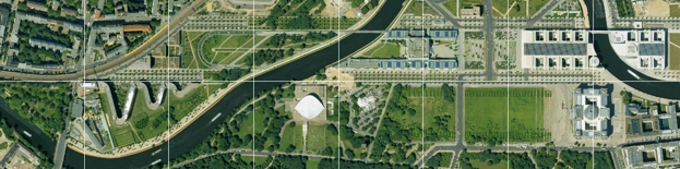
Terrain models reproduce the form of the land surface. Our main terrain elevation model is generated from the aerial photography data. It reflects the surface in the form of a net, made up of irregular distributed points (TIN). By interpolation between the points, a regular grid or raster is calculated.
We offer further options, ranging from client commissioned height measurements of defined terrain coordinates to embankment mapping. Our terrain elevation models are continually updated and refined.
Besides the main terrain elevation model, the following extra options are offered:
- Refined site and surface model with a raster frequency of up to 5 meters from the NEXTMap Germany campaign of Intermap (Radar),
- Terrain information from other data recording systems (Laser scanning, Radar),
- vegetation elevation model including shape and height structure of relevant areas of vegetation. Relevant areas are defined as permanent obstructions like forests, groups of trees, underbrush and hedges of at least 3 meters approximate height, but excluding fields of crops.
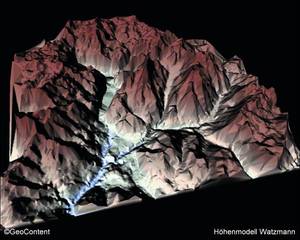
- 3D Terrain model (Watzmann)

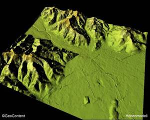
- 3D Terrain model (Freiburg)

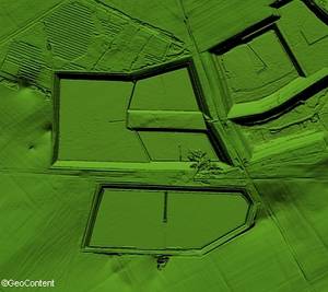
- Rasterised terrain model with embankments (embankment of a reservoir)

| AGB | Lizenzen | Impressum | Haftungsausschluss | Sitemap | Datenschutz |